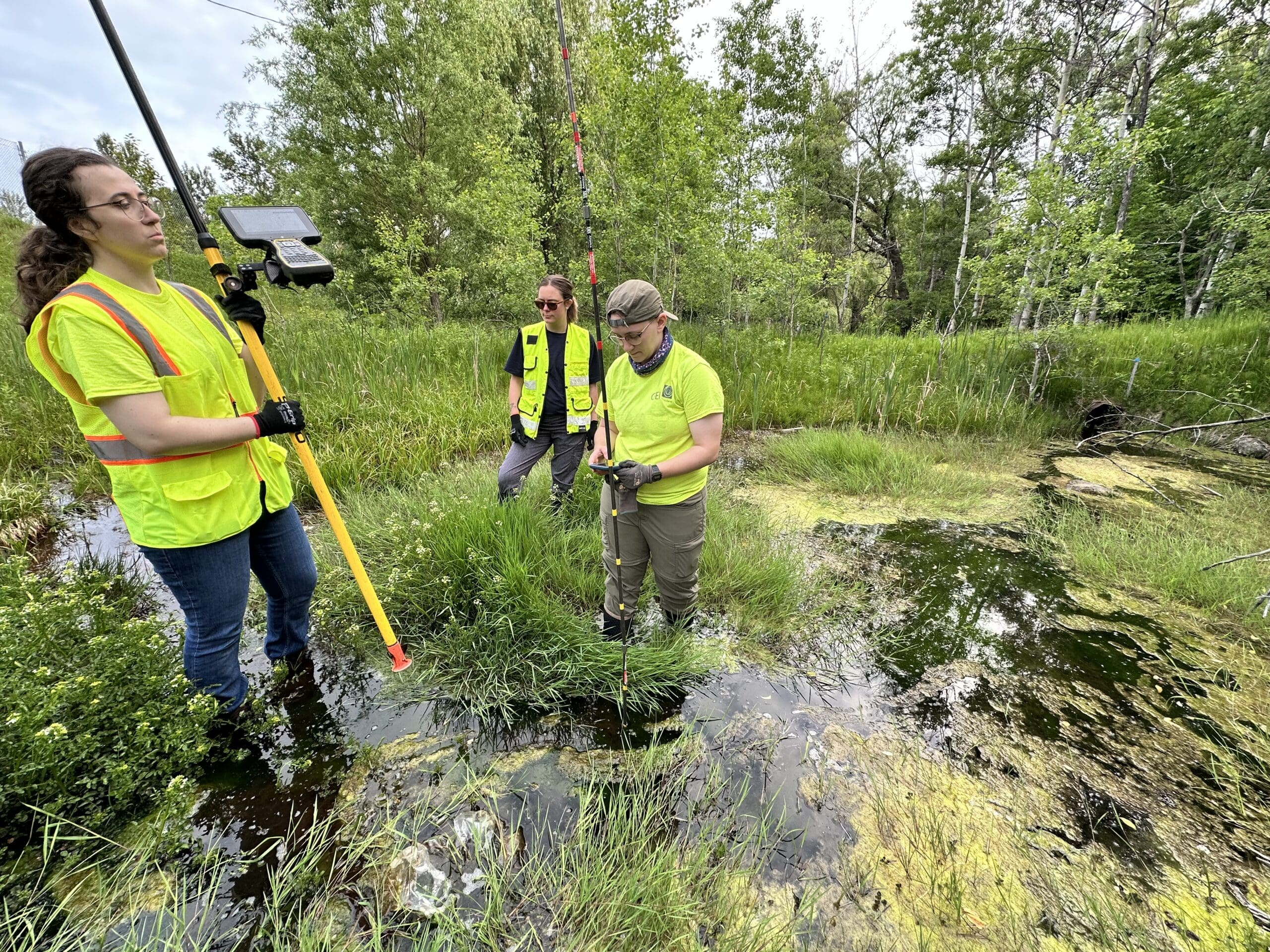
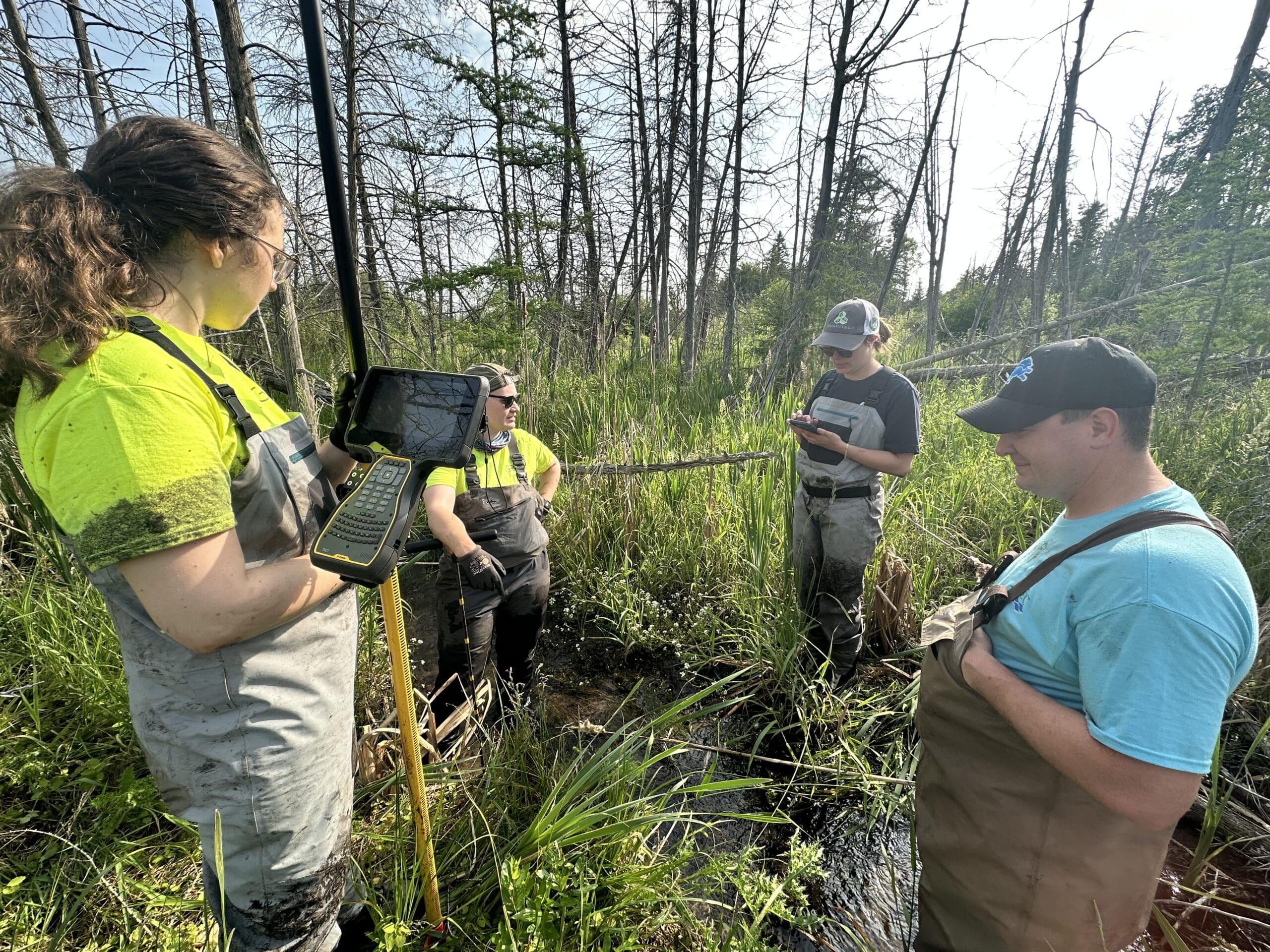
A few weeks ago, CRA’s Kimberly Balke and Meredith Freeby joined GEI Consultants and the Great Lakes Environmental Center (GLEC) to help answer that very question. One critical step in the process? A Depth of Refusal (DOR) survey.
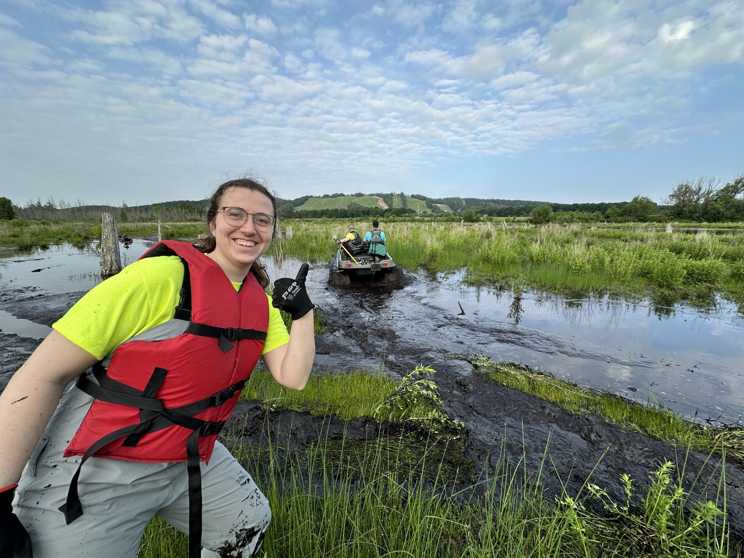
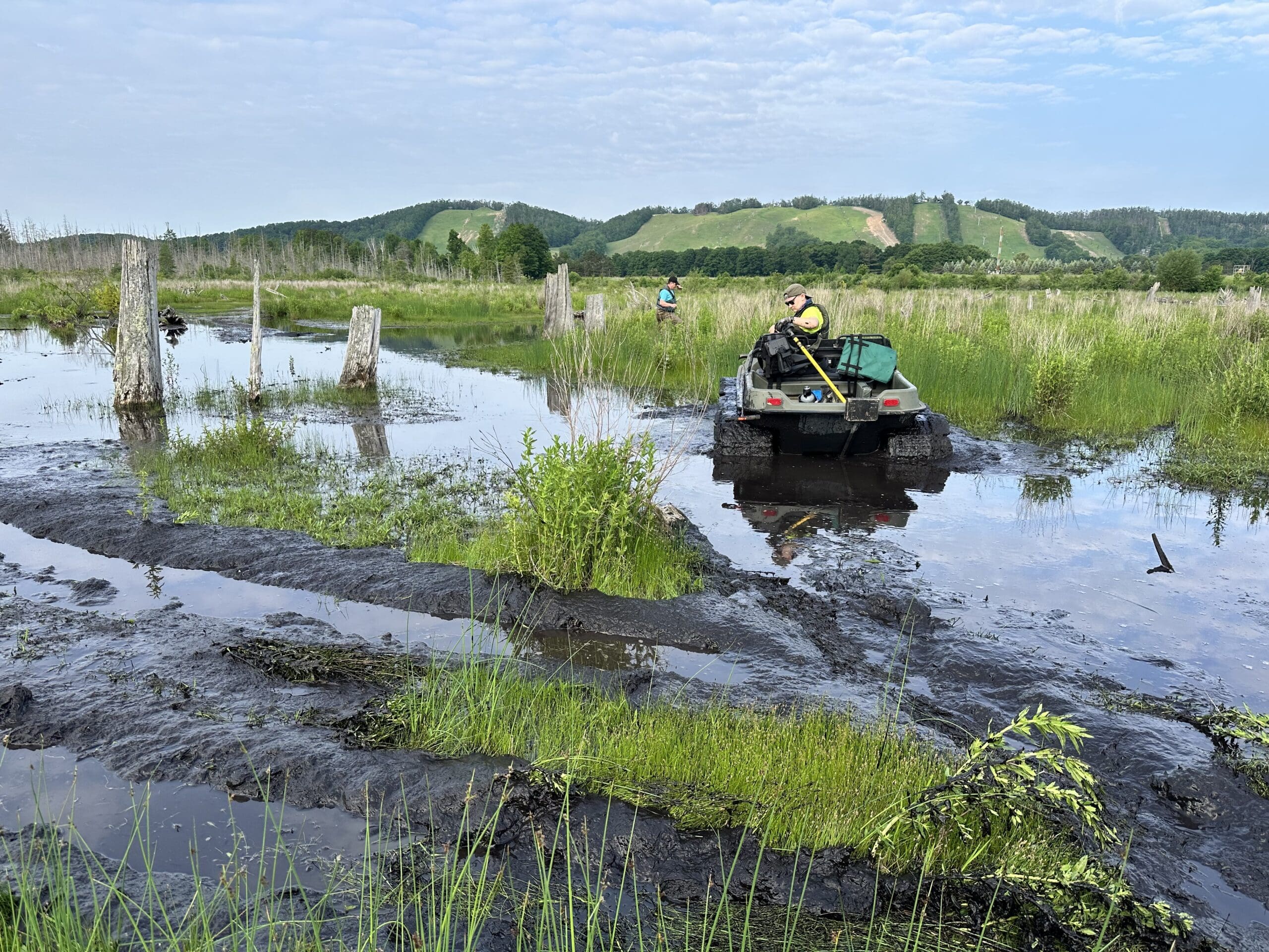
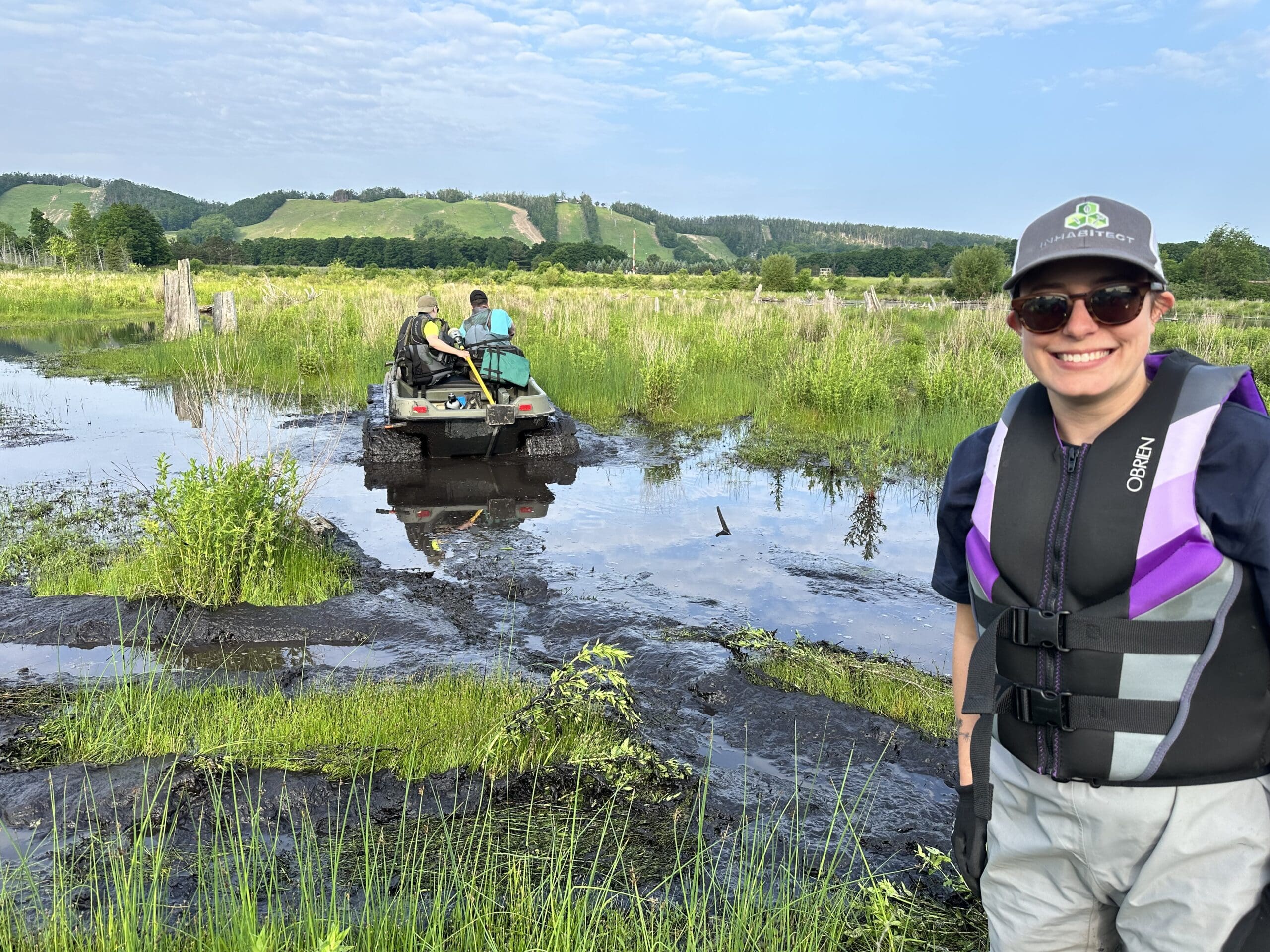
The team conducted the survey at the Boyne Falls Dam impoundment in Boyne Falls, Michigan. As the final barrier on the South Branch of the Boyne River, removing this dam will reconnect 40 miles of cold-water trout habitat and restore up to a mile of free-flowing river. Planning the river’s new course is essential to its long-term health—and that plan must be guided by sound, data-informed engineering.
A Depth of Refusal (DOR) survey helps engineers understand the geology beneath a reservoir and estimate how much sediment has accumulated over time—one of the most significant and challenging impacts of dams. The photos included show just how much material has built up. A similar study conducted at this site in the 1980s found more than 200,000 cubic yards of sediment, the result of over a century of accumulation. The most recent survey is expected to reveal an even higher estimate, reflecting more than 40 additional years of sedimentation. Excess sediment can smother aquatic habitats, reduce water quality, and interfere with the natural flow and function of rivers.
To perform the survey, a rod is pushed into the ground until it hits a point of refusal—meaning it can’t go any farther. When the rod strikes gravel at depth, it often marks the relict river channel: the river’s original path before the dam was built. If multiple refusal points reach the original gravel bed and form a consistent pattern, GEI can use that data in their restoration design, potentially recreating the river’s natural, historical course.
Whether or not the future channel can match the relict channel depends on several factors, but the DOR survey provides valuable insights to guide GEI’s engineering decisions as they design the future path of this currently impounded river.
Swipe through the gallery below for a look behind the scenes.