Freeing the South Branch: The Future of Boyne Falls Dam
Project Highlights
Project Type
Dam Removal & Stream Crossing Replacement
River Miles Connected
Upstream Reaches: 3 miles of the South Branch, 38 miles of its tributaries, and reconnection to 36 miles of the North Branch.
Downstream Reaches: Protecting 6.3 Miles downstream to Lake Charlevoix
Location of Project
Village of Boyne Falls, Charlevoix County, Michigan
South Branch of the Boyne River
Wildlife to be Benefited
Brook Trout, Brown Trout, Aquatic Macroinvertebrates & Mottled Sculpin, Amphibians, Reptiles
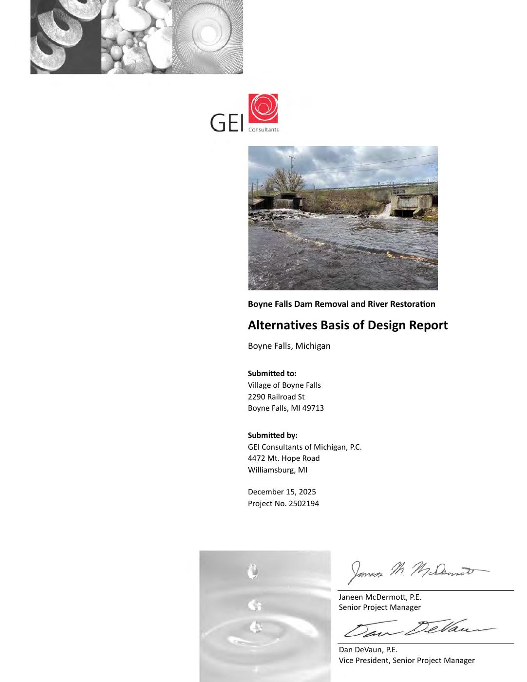
Boyne River Falls Dam
Project Overview
CRA and The Village of Boyne Falls are taking bold steps toward reconnecting the South Branch of the Boyne River by exploring the removal of the Boyne Falls Dam—its only remaining barrier.
Built over a century ago, the dam has long outlived its original purpose. Originally constructed in the late 1800s to power a sawmill and later adapted for hydropower, the dam is a relic of the region’s early industrial era. In 1956, the Village purchased the decommissioned dam for just one dollar from Consumers Power Company, long after its powerhouse was removed.
The Boyne River has long been central to life in this region. The Odawa people, who continue to live here today, have called this land home for generations—long before the arrival of Europeans in the 1600s. The arrival of the Grand Rapids & Indiana Railroad in 1874, and the subsequent logging boom, shaped the development of Boyne Falls and led to the construction of multiple dams along the South Branch to power grist, saw, and hoop mills. Remnants of these bygone industries—collapsed dams and an old railroad bridge—still linger upstream.
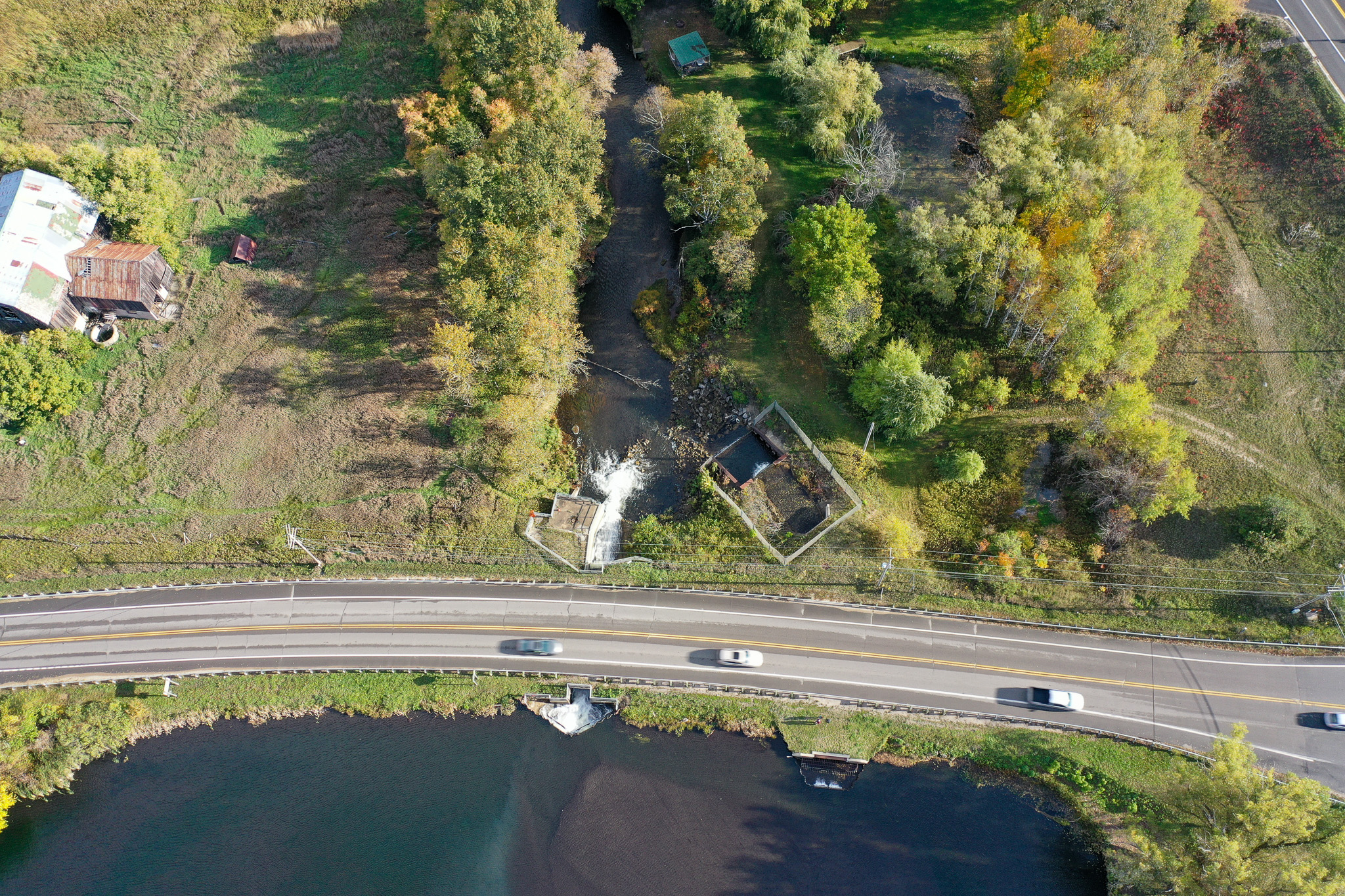
Today, the Boyne Falls Dam holds back more than 200,000 cubic yards of sediment and just a fraction of the open water it once did. With visible signs of deterioration, mounting maintenance costs, and the busy M-75 highway crossing over the top of it, the dam now presents both environmental and public safety concerns.
Removing the dam would:
- Reconnect over 40 miles of cold-water trout habitat
- Restore up to a mile of free-flowing river
- Improve water quality and fish passage
- Reduce the risk of catastrophic failure and downstream sediment release

Project partners assess current conditions at the Boyne Falls Dam.

The deteriorating spillway at Boyne Falls.
But the project is about more than dam removal—it’s about restoring a vital part of the Lake Charlevoix Watershed, supporting local recreation, and imagining a new future in the heart of the village.
Boyne Falls, home to fewer than 400 residents, has partnered with Conservation Resource Alliance and a broad coalition of stakeholders to launch a feasibility study—an essential first step. The study will assess the dam structure, quantify sediment buildup, examine infrastructure like the M-75 crossing, and even explore the possibility of returning the river to its historic channel 500 feet west of the current alignment.
Other impediments in the river planned to be addressed include:
-A second upstream dam built in 1879 supported a former grist mill
– The Cherry Hill Rd. stream crossing consists of two undersized culverts, along with remnants of a third upstream dam—once used to support a hoop mill—located at the crossing outlet.
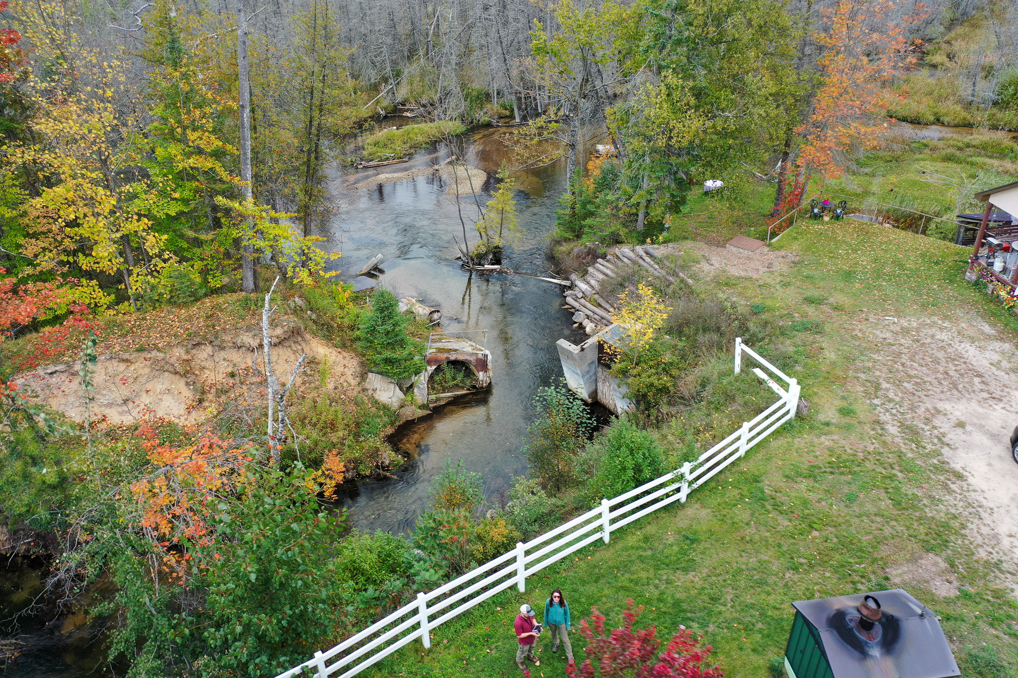
Remnants of the second upstream dam, which failed during a high-water event in 2019, still remain.

The Cherry Hill crossing consists of undersized culverts, likely built atop remnants of the former hoop mill. It serves as part of the trail linking Boyne Falls to Boyne City.
Funding Update:
Several key funders listed below have contributed to the feasibility study and 30% Design Phase. CRA is now seeking an additional $55,000 by the end of the year to complete these critical early project stages.
The 30% Design Phase marks a major milestone in the process, where initial concepts are developed into preliminary plans. This phase demonstrates that the project is progressing from ideas to actionable design, while still allowing room for refinement based on stakeholder input and technical feedback.
This work honors both the ecological importance of the river and the deep history of the land. It offers a unique opportunity to merge environmental restoration with community revitalization—transforming a degraded impoundment into a community asset featuring restored river habitat, walkable greenspace, and a stronger, safer infrastructure system.
Stay tuned as the Village of Boyne Falls leads the way in restoring a vital waterway and building a stronger, healthier future for the entire watershed.
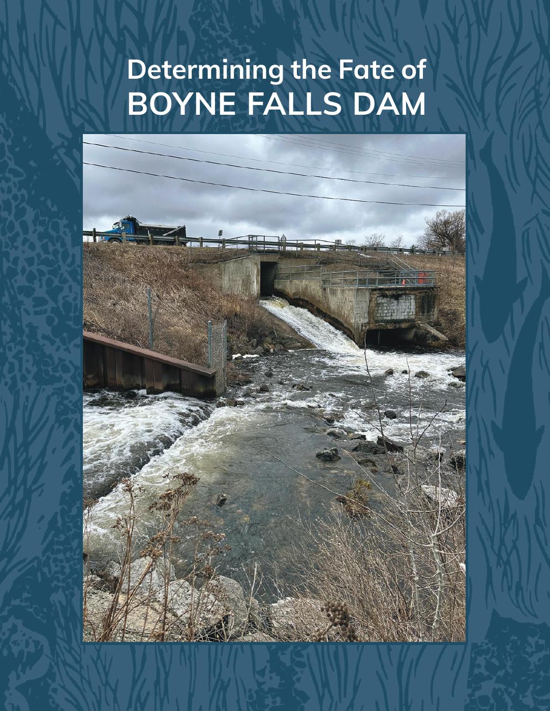
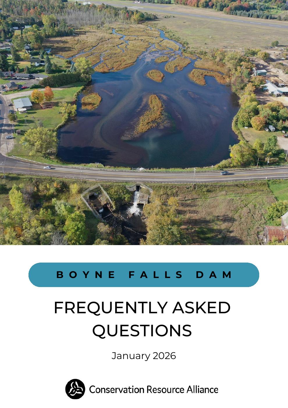
Looking for more information on this project? Click on the publication covers below!
Projects like this are not possible without the help of our funders and partners. We’d like to send a special thank you to:
Partners
Conservation Resource Alliance | The Village of Boyne Falls | Michigan Department of Natural Resources | Michigan Department of Environment, Great Lakes and Energy | Michigan Department of Transportation | Charlevoix County Community Foundation | Boyne Mountain Resort | Friends of the Boyne River | Michigan Hydro Relicensing Coalition | Tip of the Mitt Watershed Council | Little Traverse Bay Bands of Odawa Indians | Charlevoix County | Charlevoix Conservation District | Miller Van Winkle Trout Unlimited | Michigan Trout Unlimited | Boyne Valley Township
Funders
Michigan Department of Environment, Great Lakes and Energy, Dam Risk Reduction Grant Program | Michigan Department of Natural Resources, Fisheries Habitat Grant Program | Charlevoix County Community Foundation | The Village of Boyne Falls
With support from River Care Funders
Packaging Corporation of America | DTE Foundation | Serra Family Foundation | Andrew R. and Janet F Miller Foundation | Walters Family Foundation | The Brookby Foundation